Osprey Falls Trail

Before I get into details or pictures I want to make sure I set the backstory.

While continuing to click off the miles for my required 100 miles over the summer Janet and I were looking for a hike that would be long but not too bad. Looking at the trail guides Osprey Falls Trail was marked as moderate.

At this point I must take a pause and help you contemplate the definition of moderate, which is “average in amount, intensity, quality, or degree.” Now let that sit a little bit. Think of some tasks or work that you would consider moderate.

Once you have let those thoughts and feelings of moderate bath over you please join me in the hike of Osprey Falls Trail.

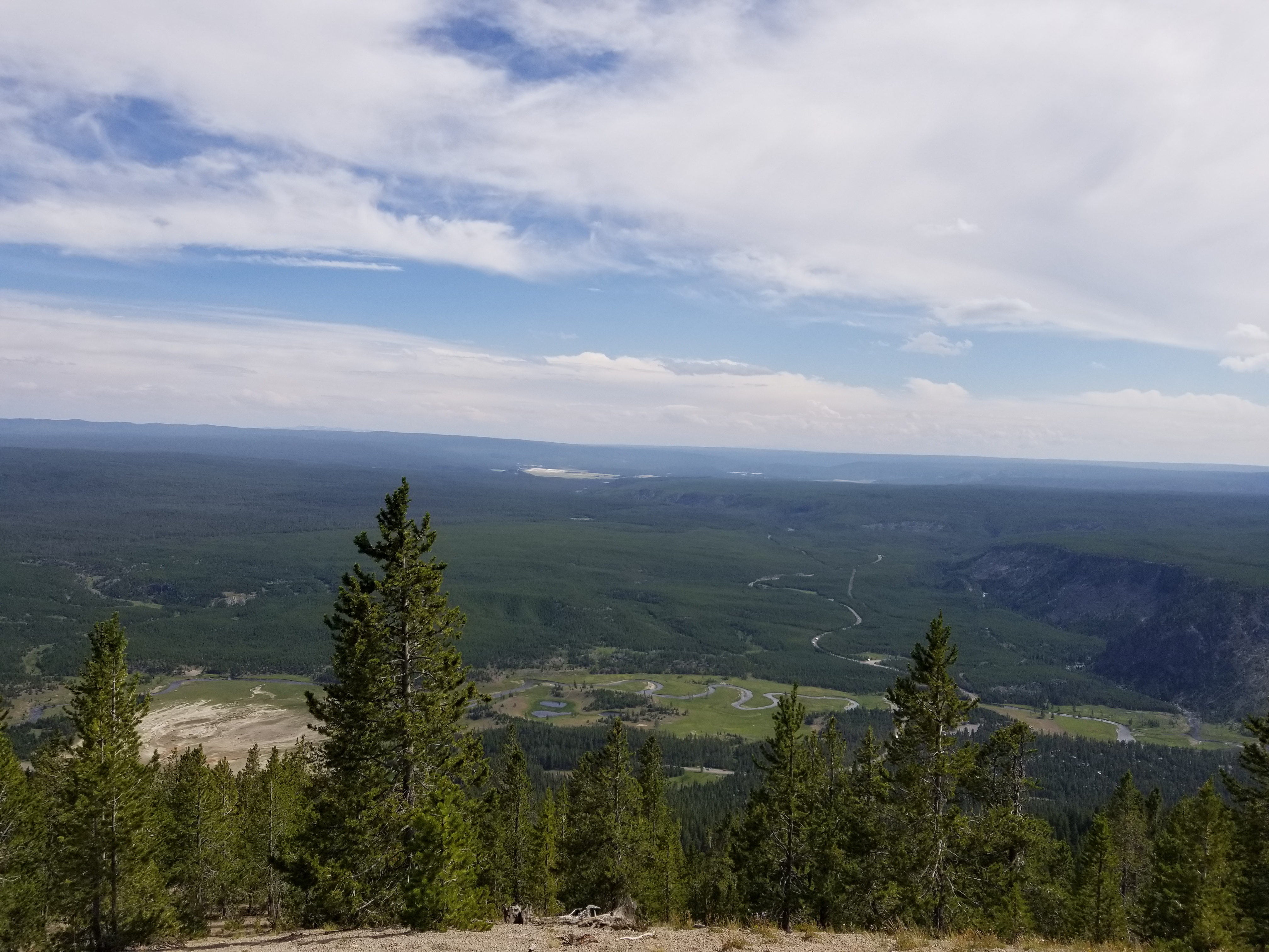
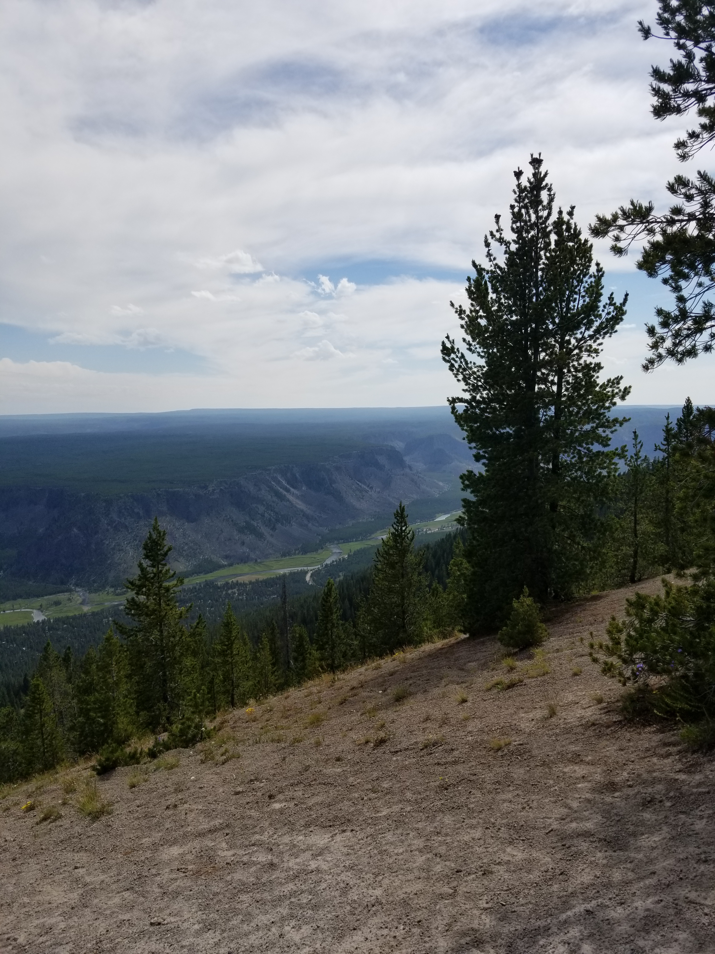
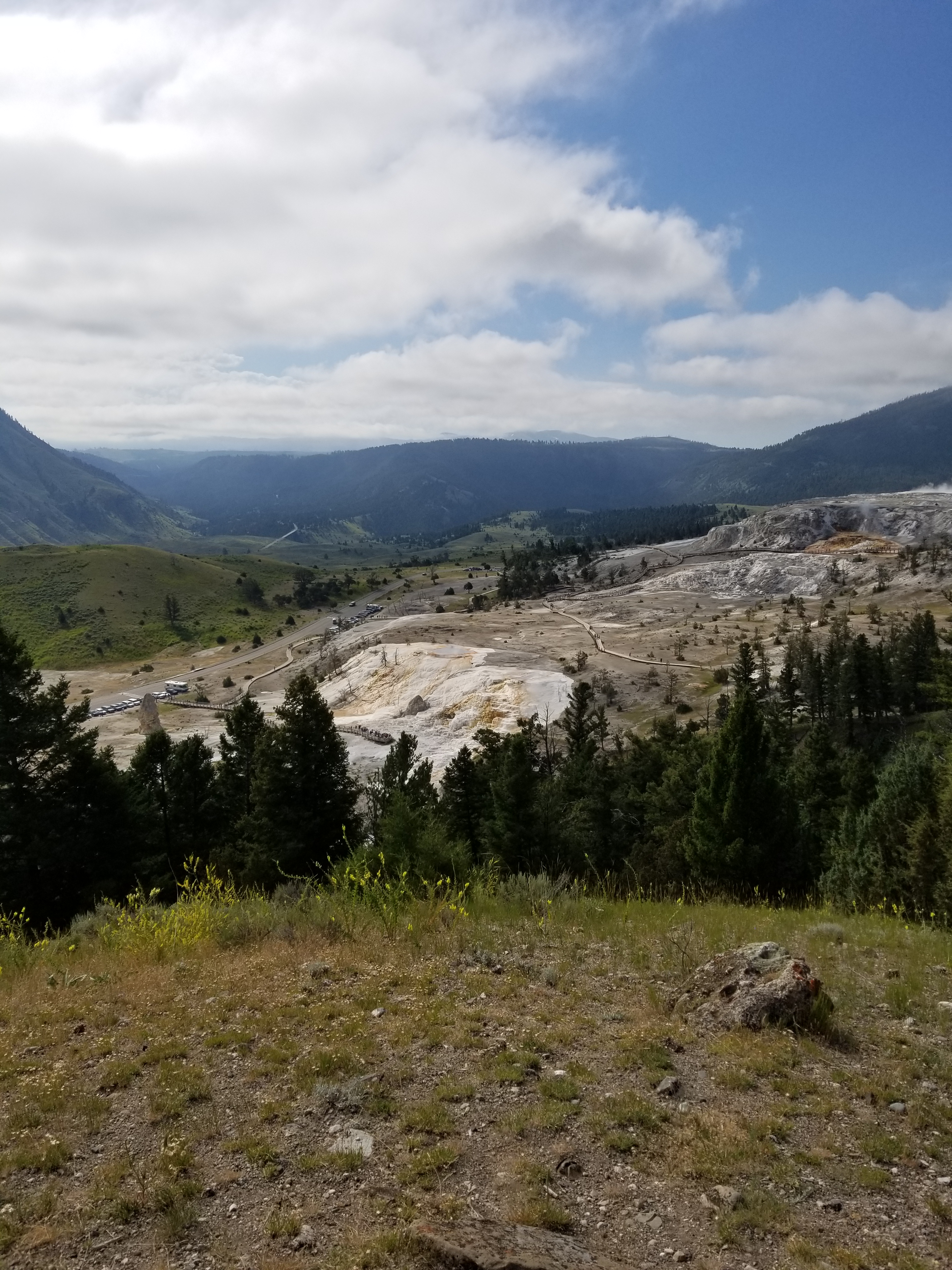
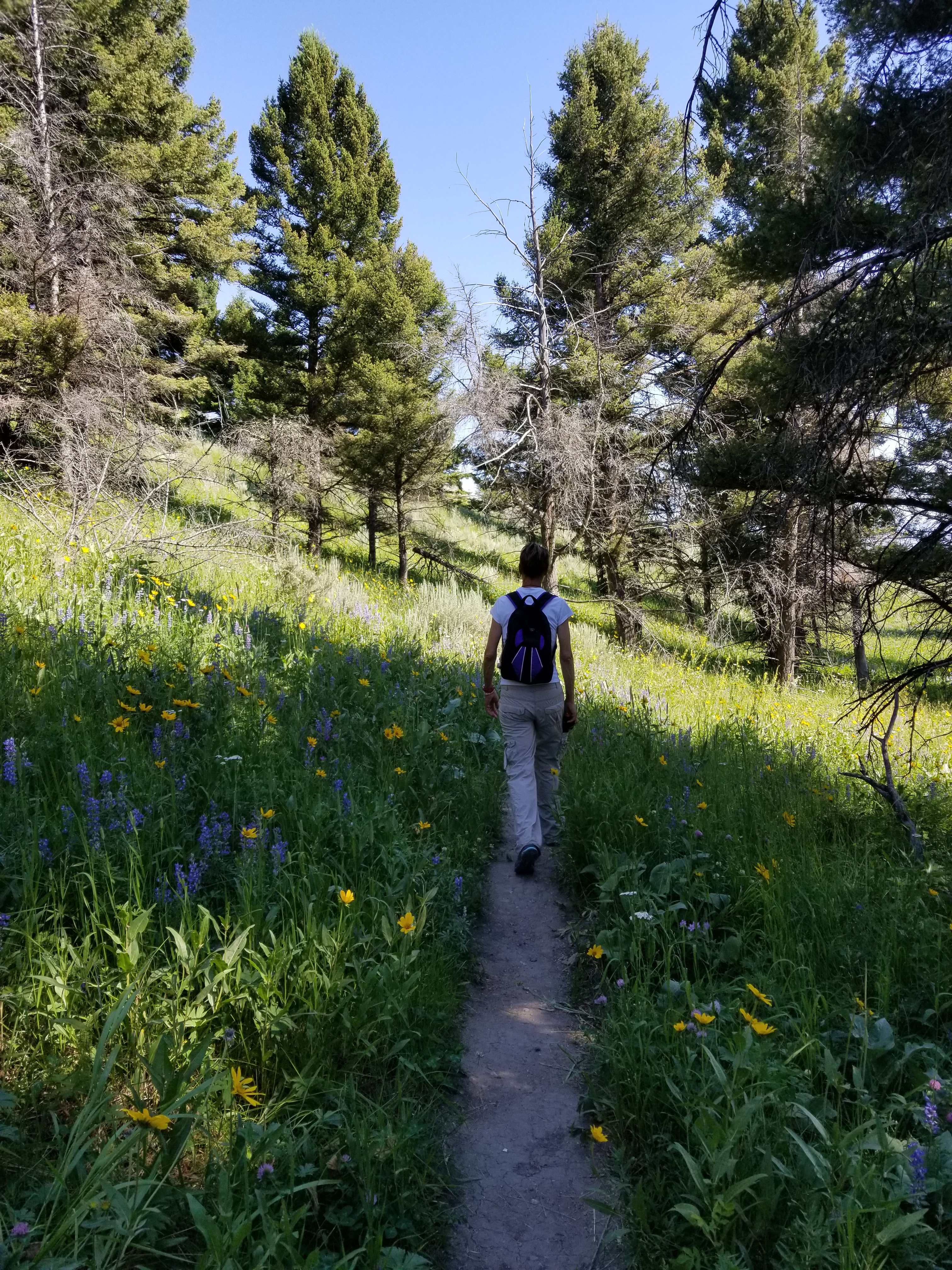
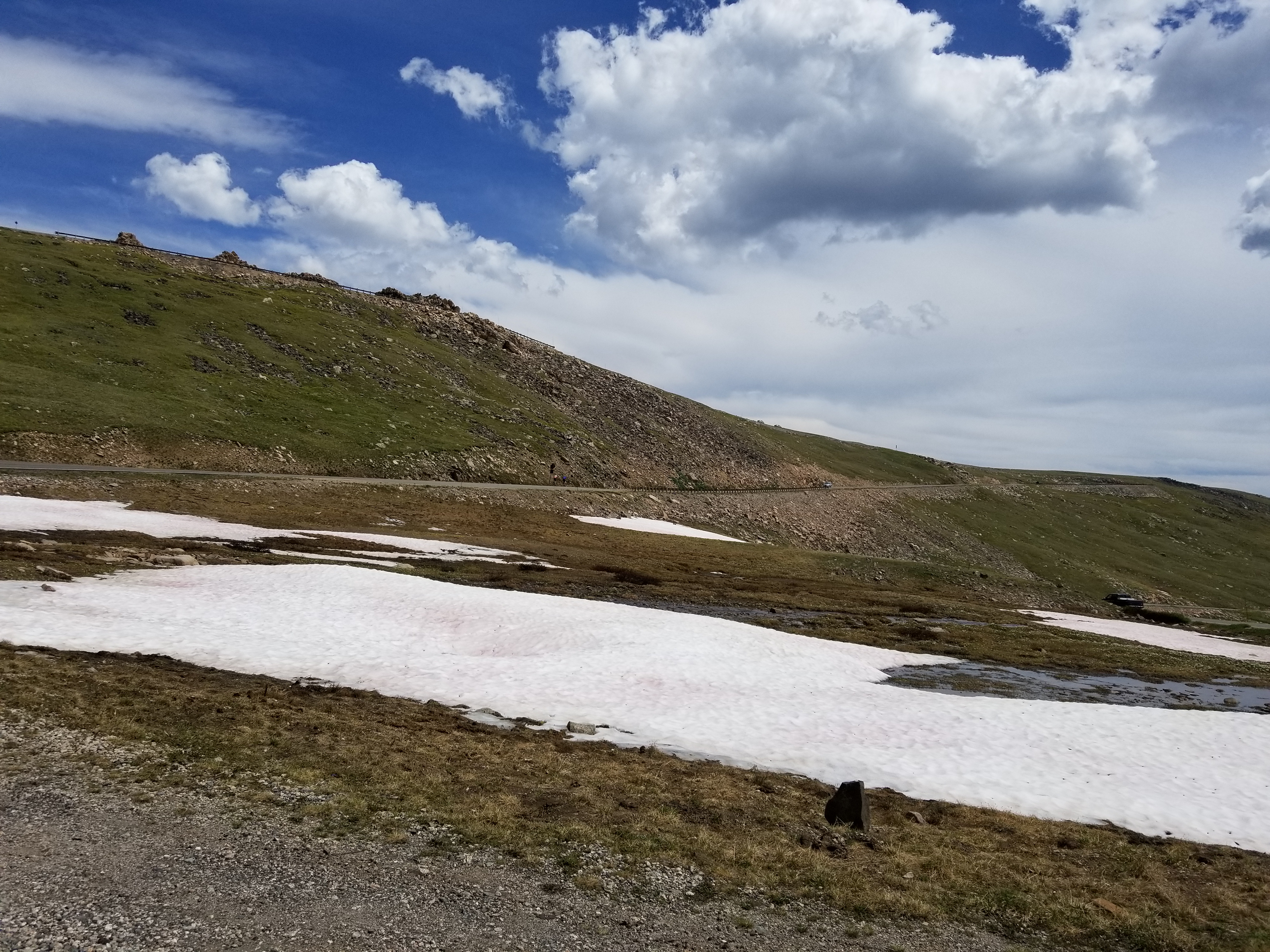
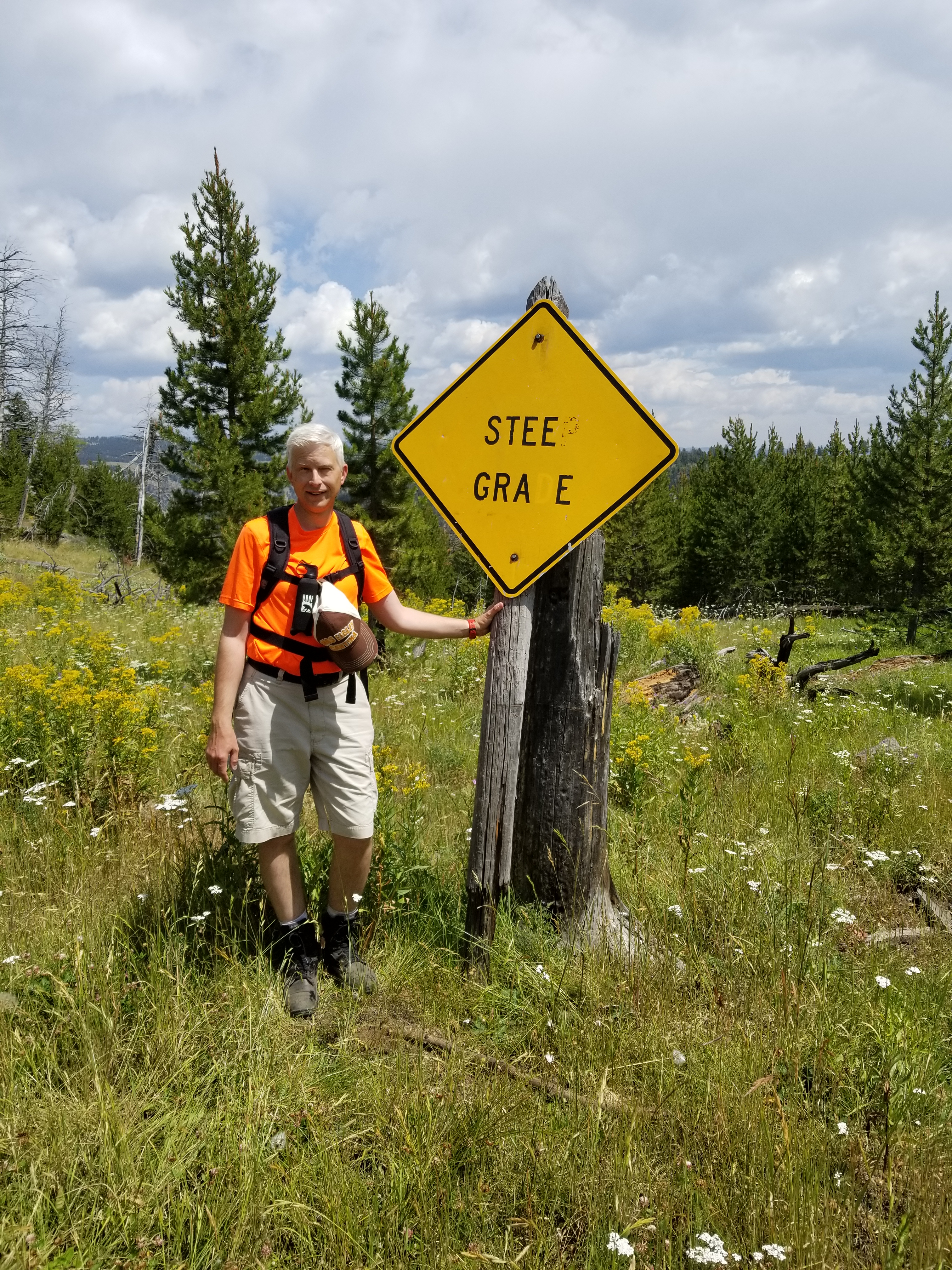
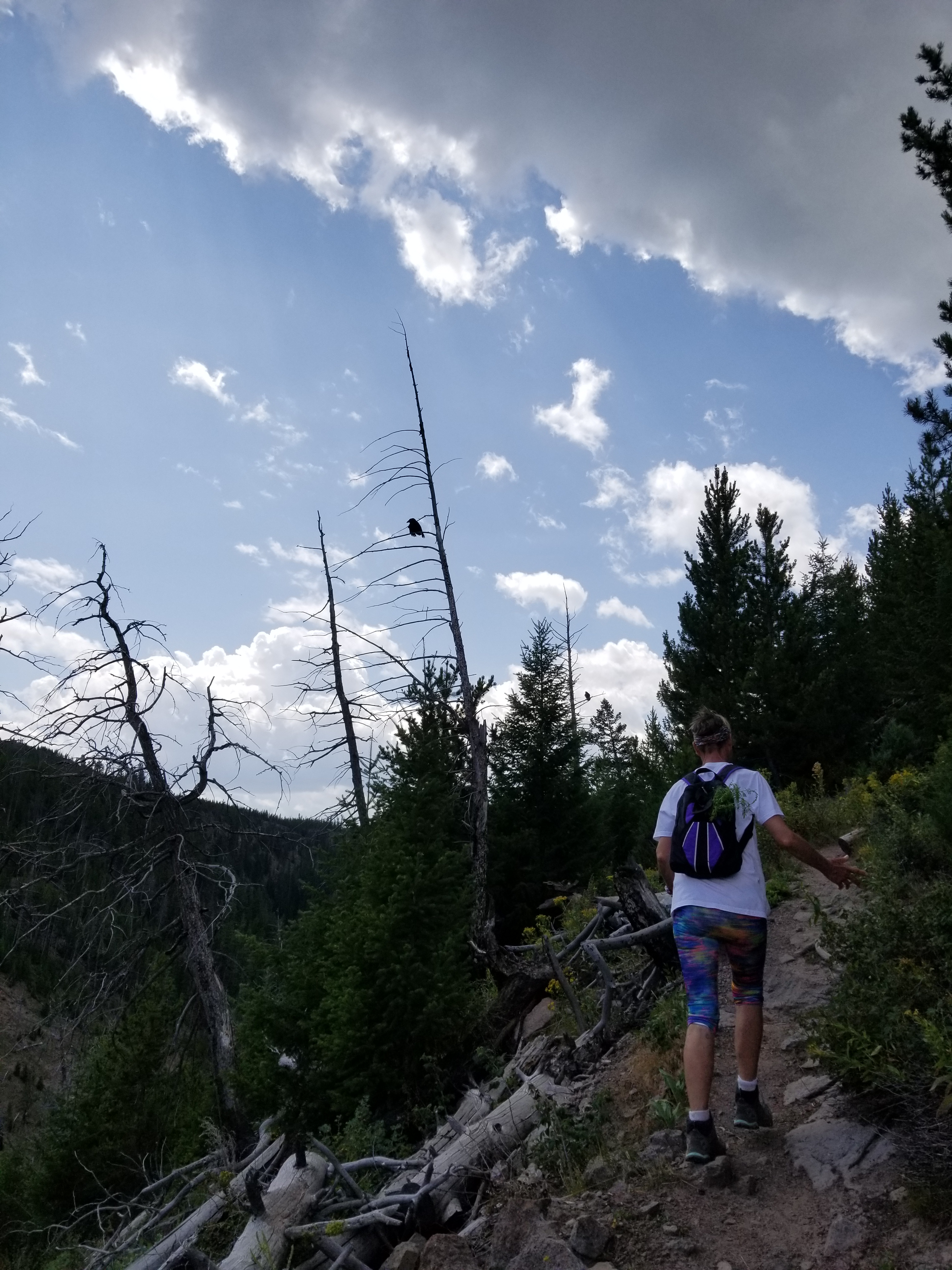
The trail started off like this.

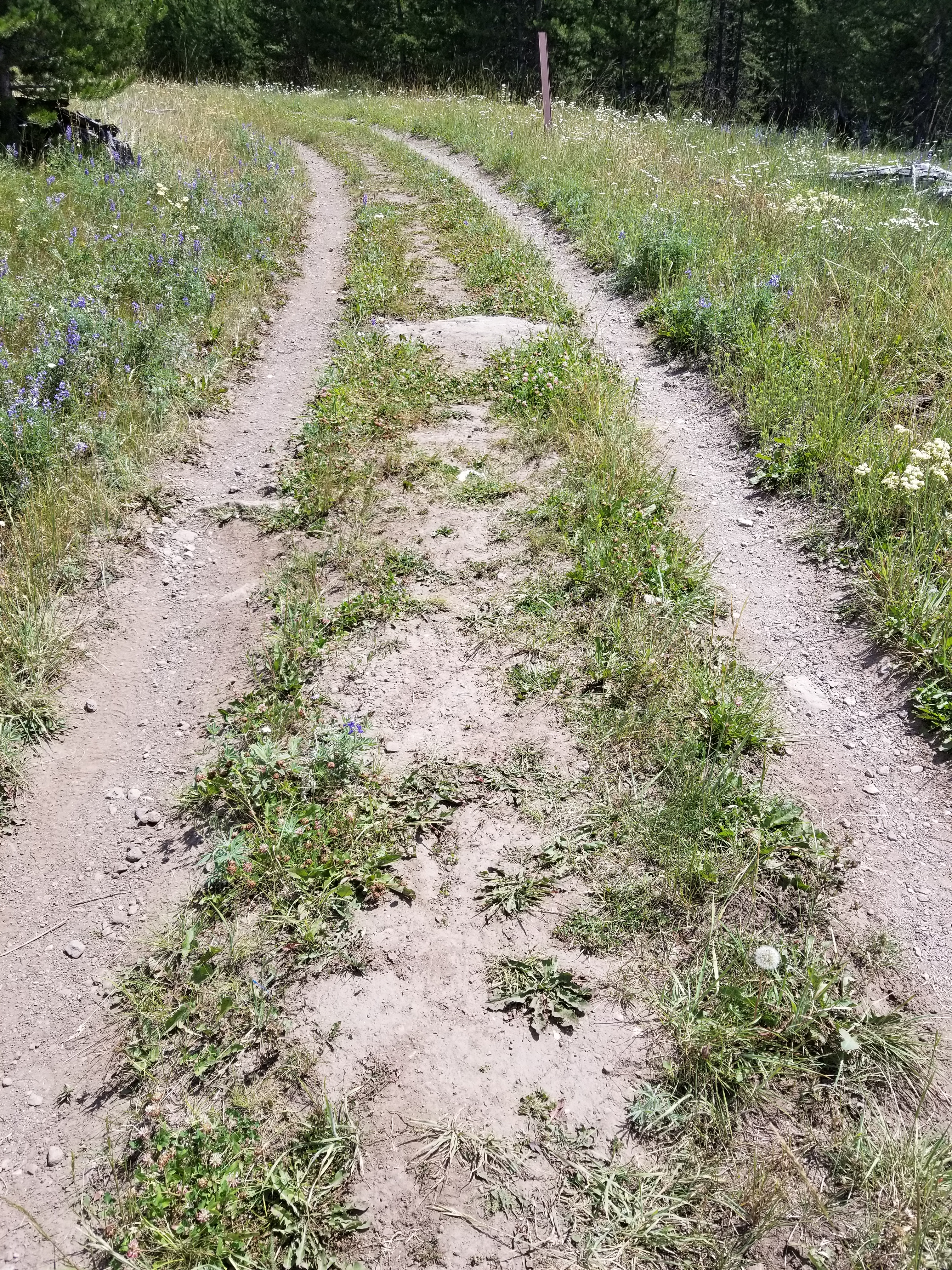
At this point I am thinking moderate, ha this is easy to me. Long and flat is still easy.

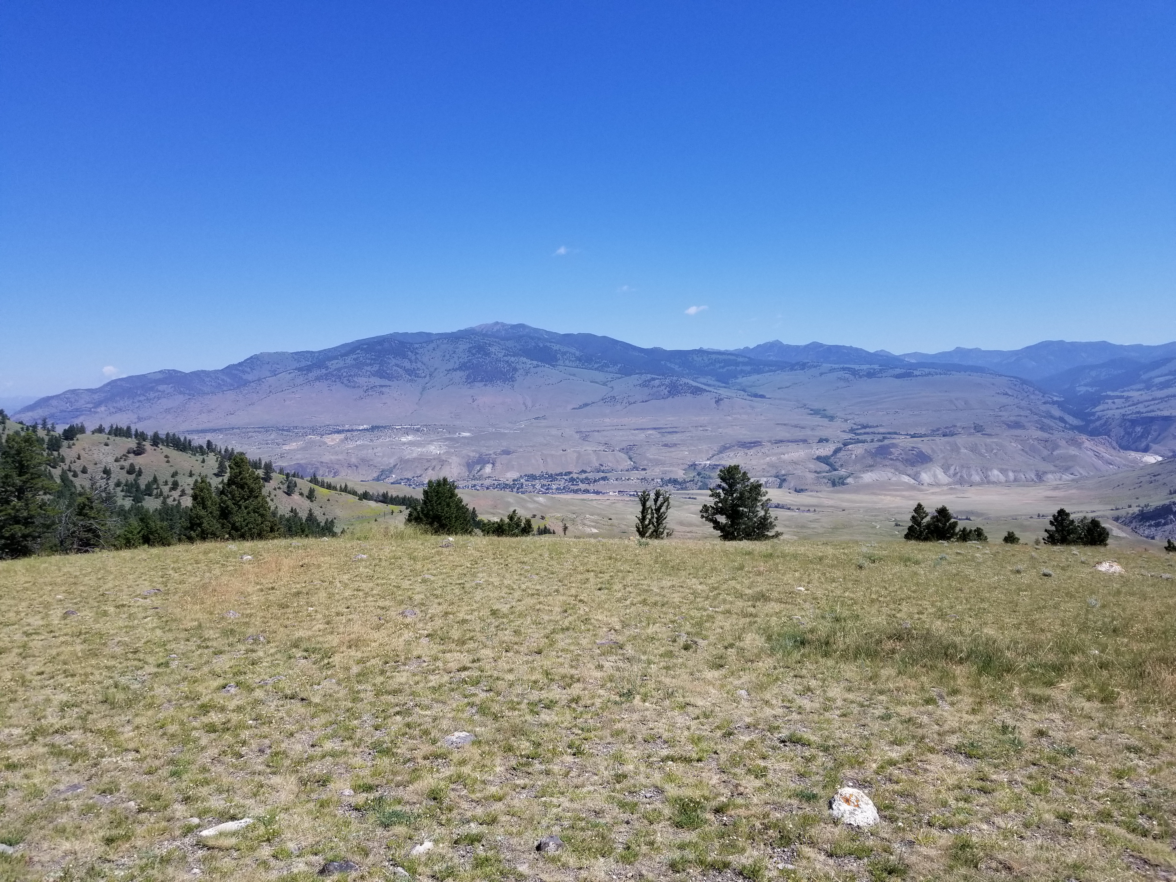
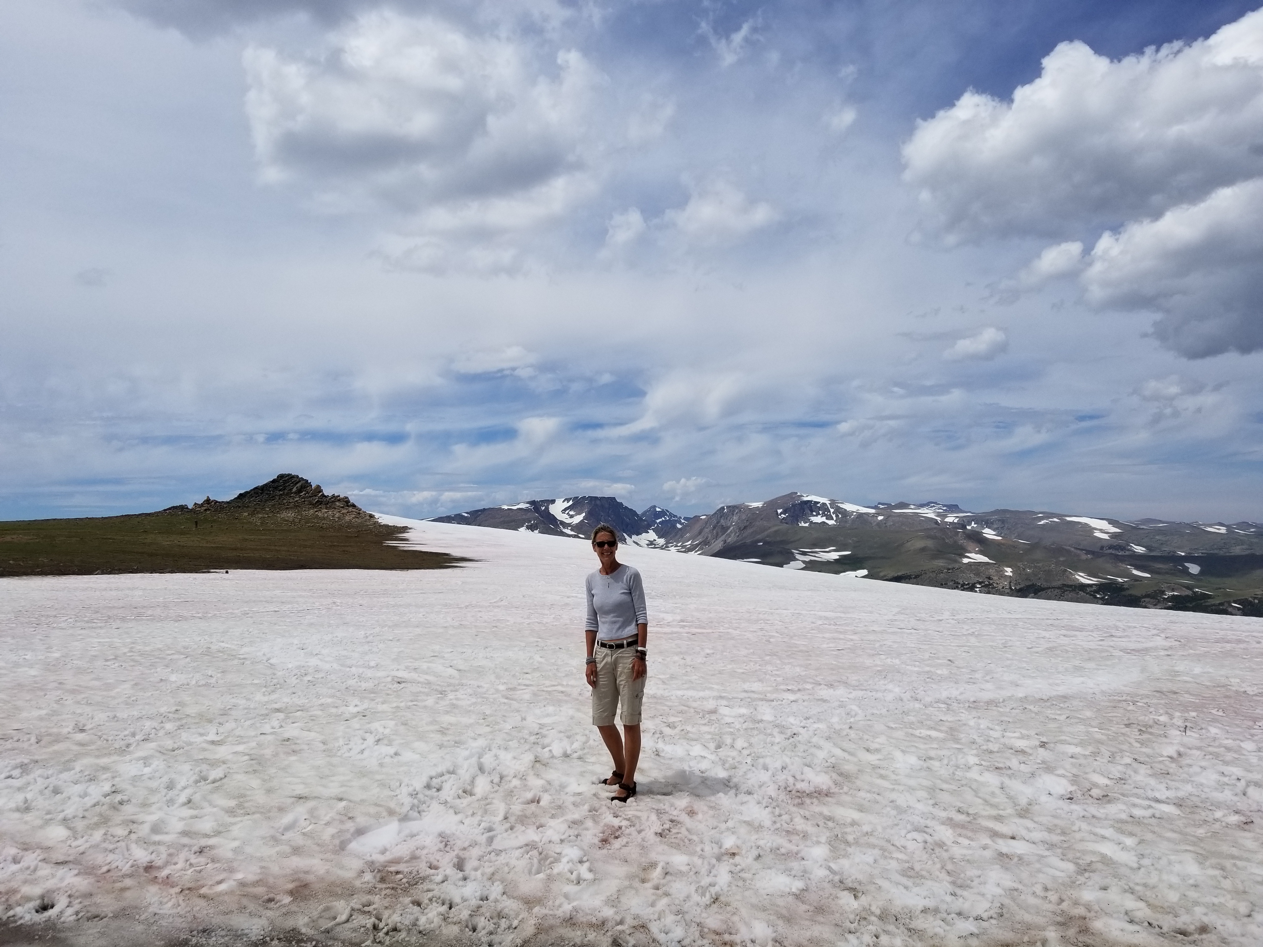
This was clue number one that something was off.

At this point was thinking we should be seeing the waterfall, but that was not the case.


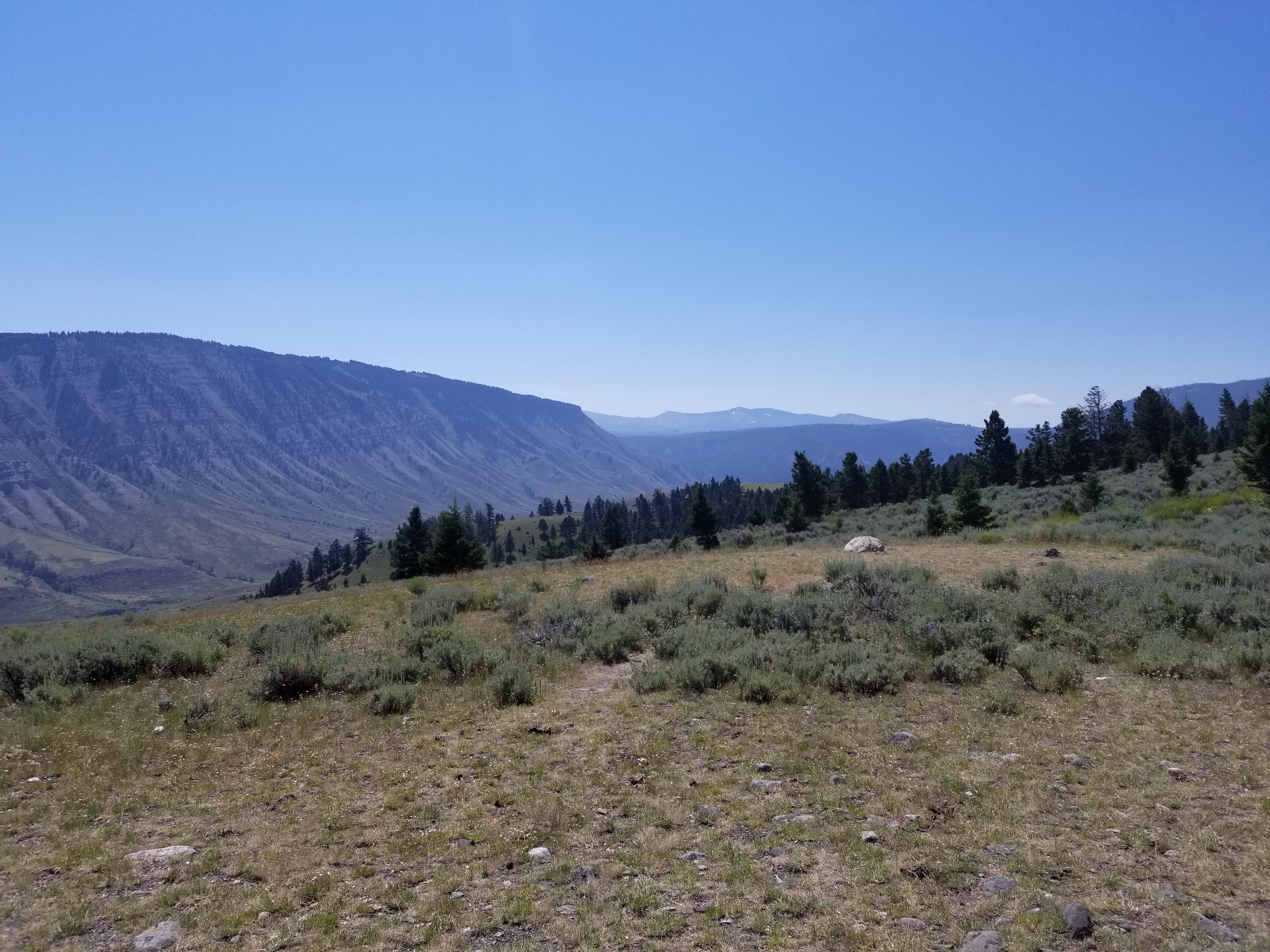
The second clue was seeing how far down the water was and the guide said that the trail ended at the base of the waterfall.

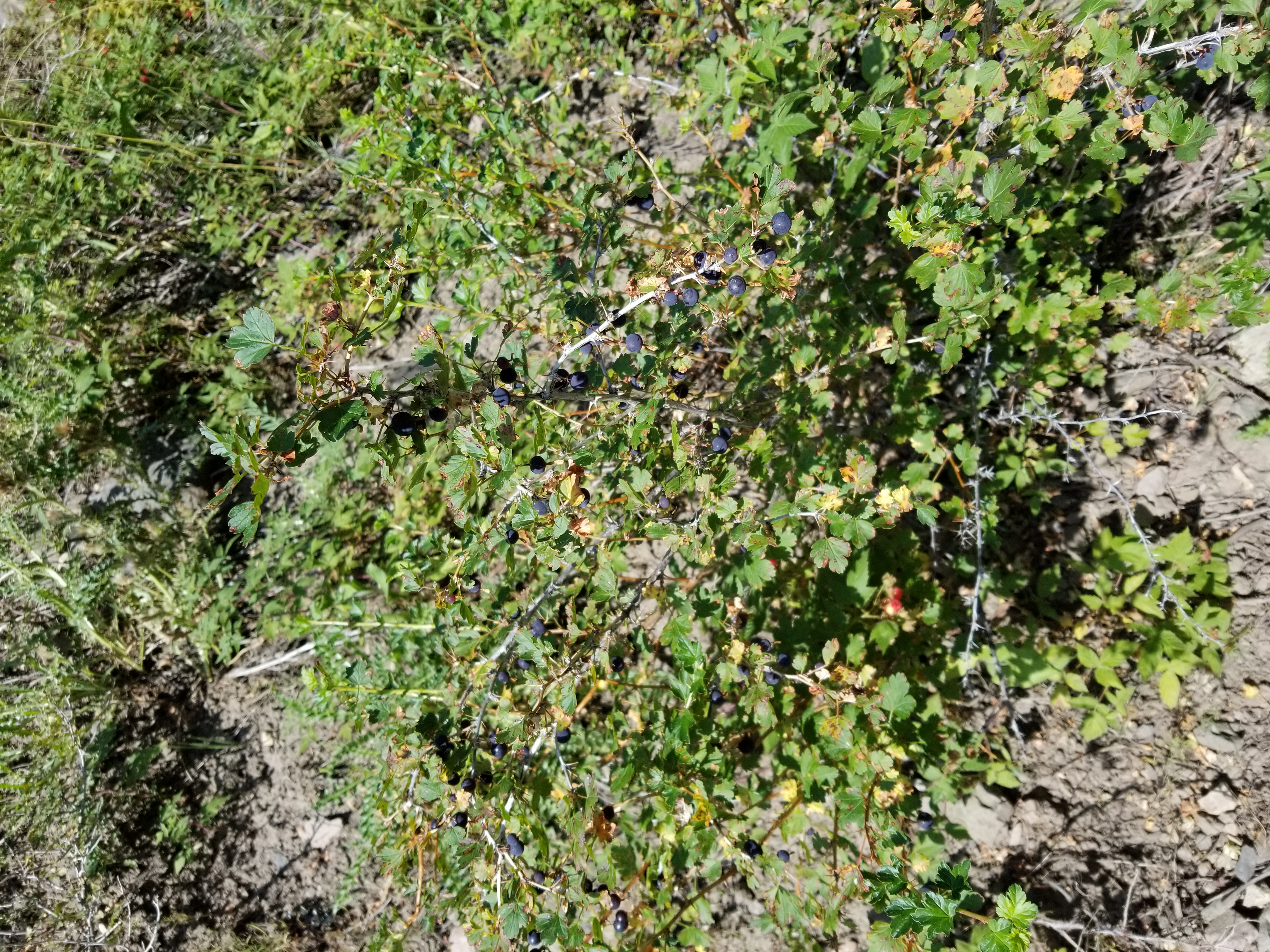
We did find some huckleberries.

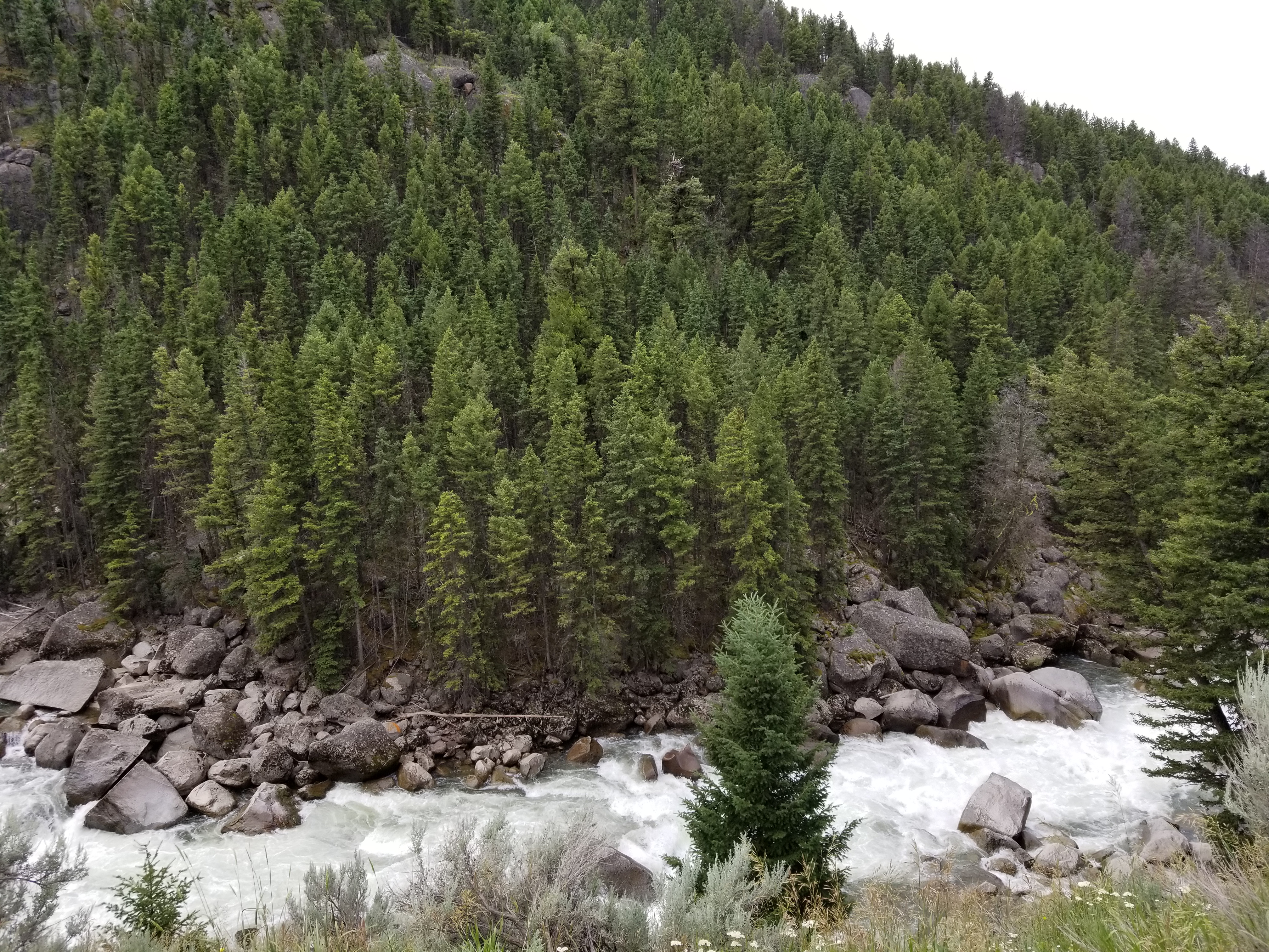
Well after a long walk down including a moment where I went from being upright to being on my fanny one second later, we arrived at the waterfall.

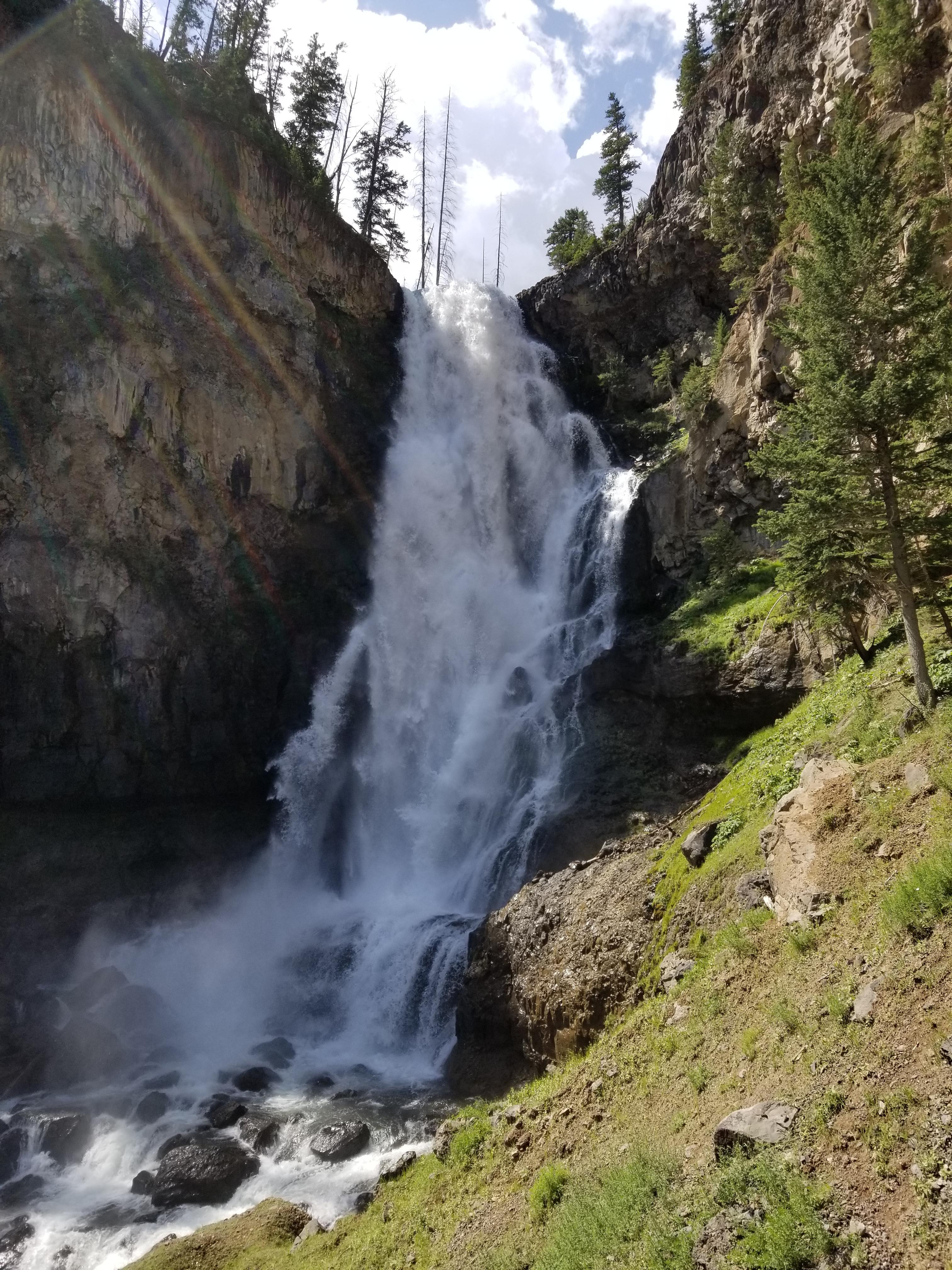
The water was really flowing.

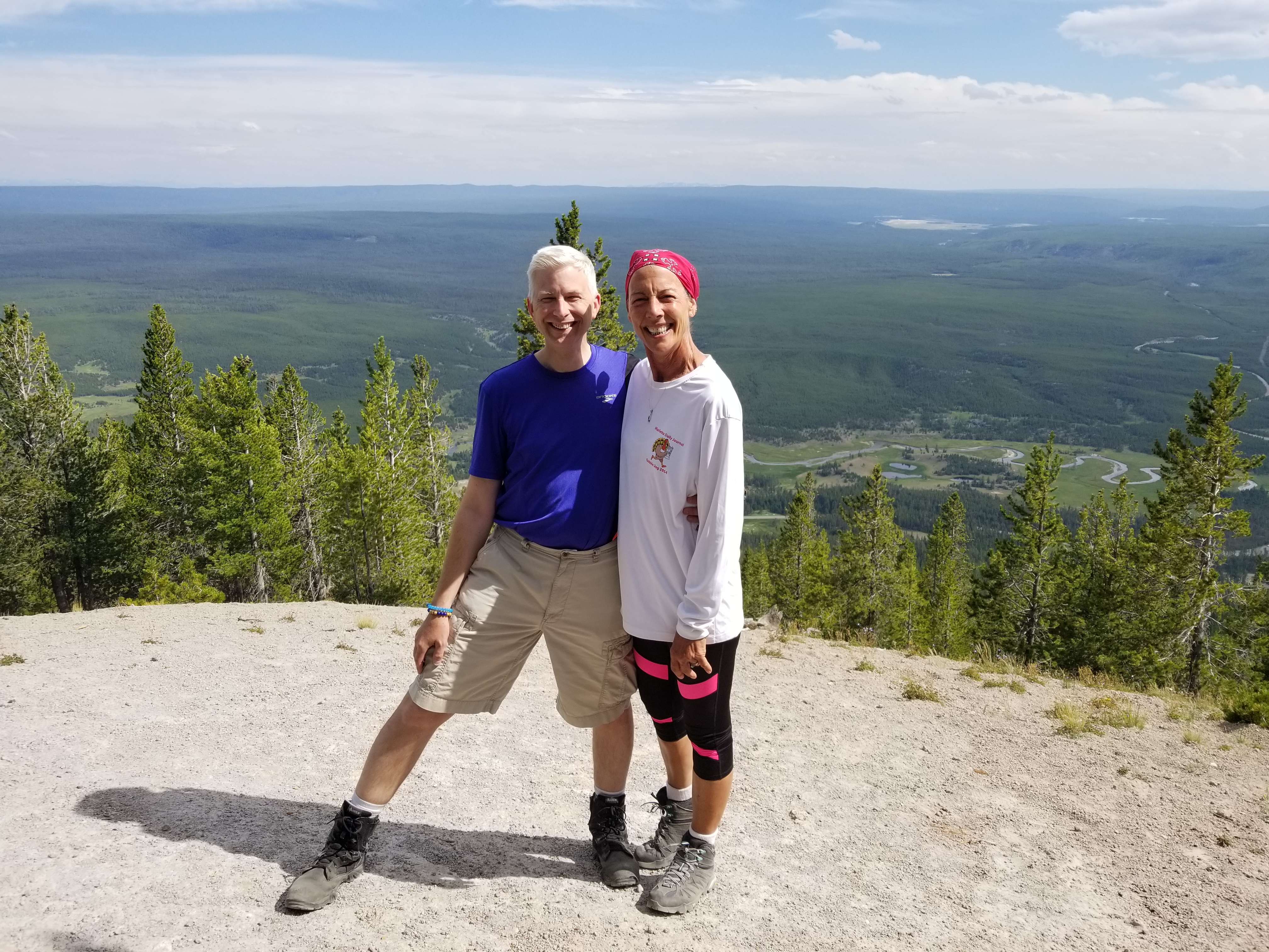
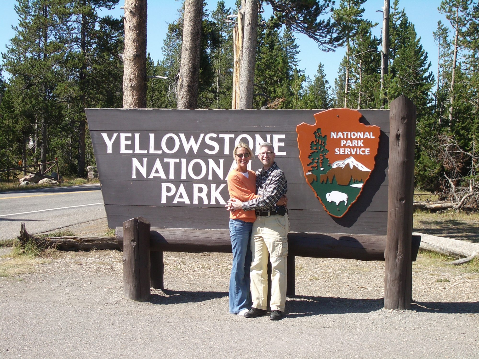
If you look closely at this picture you can see that Janet looks like she just stepped out of a spa and my eyes are starting to separate and not act in unison. I think it took all my mental capacity to work my phone to take the picture.

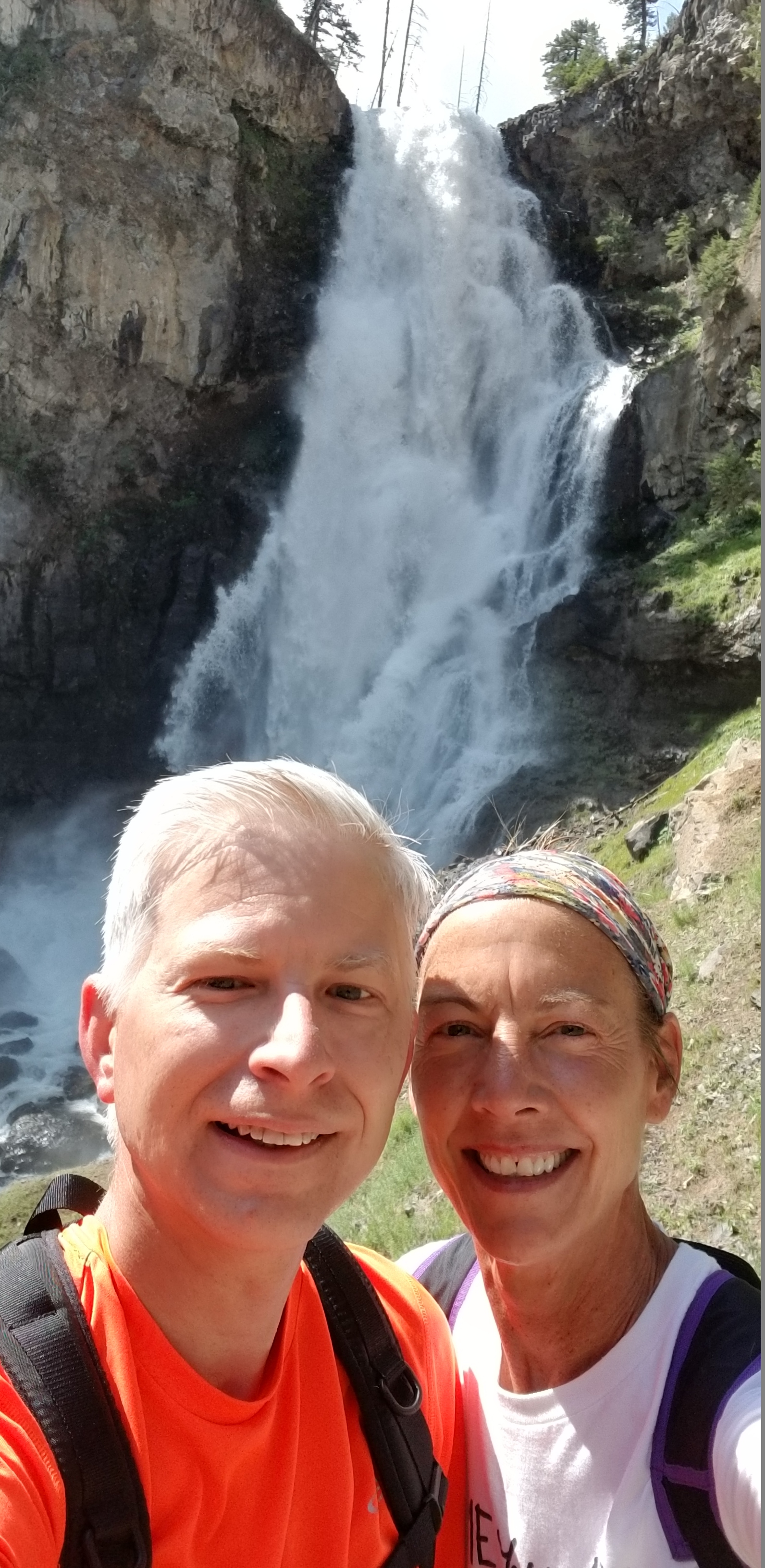
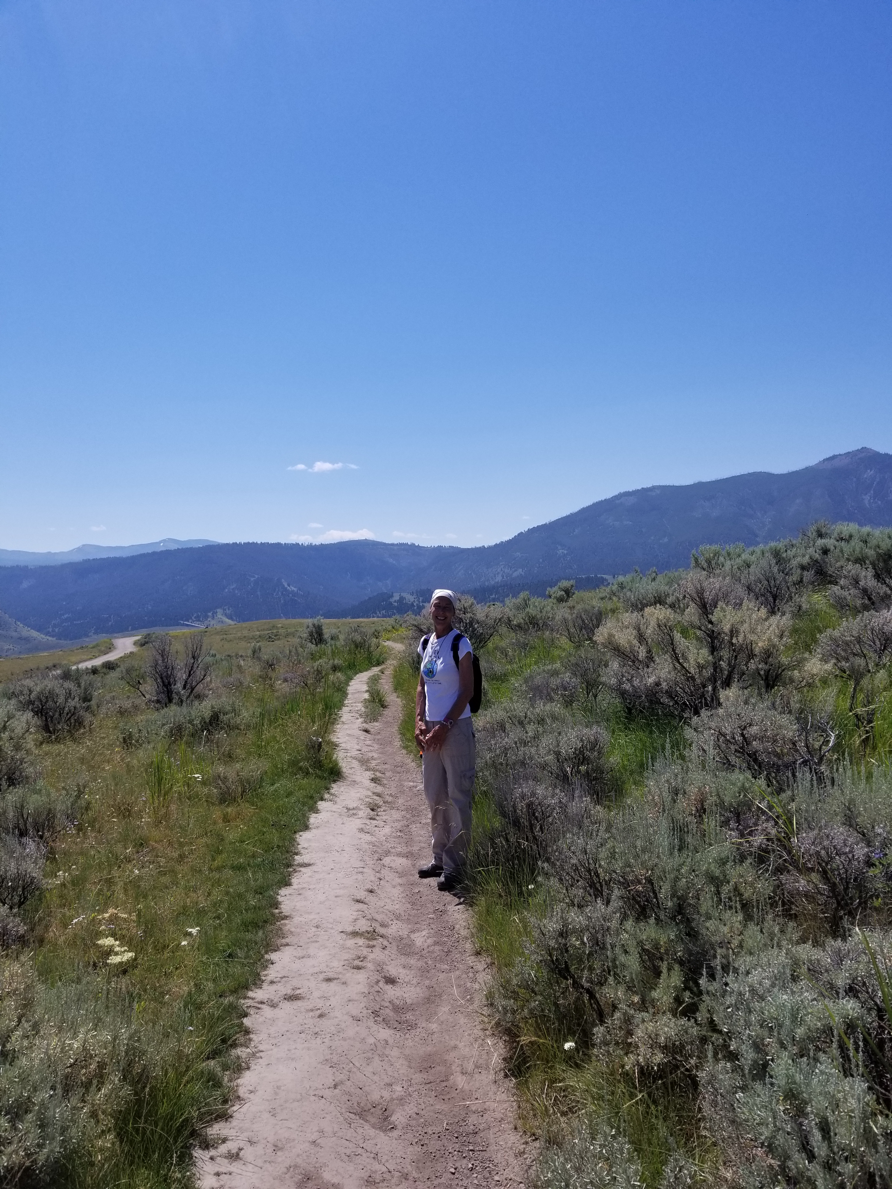
Just look at that smile! Janet is the best partner for any adventure.

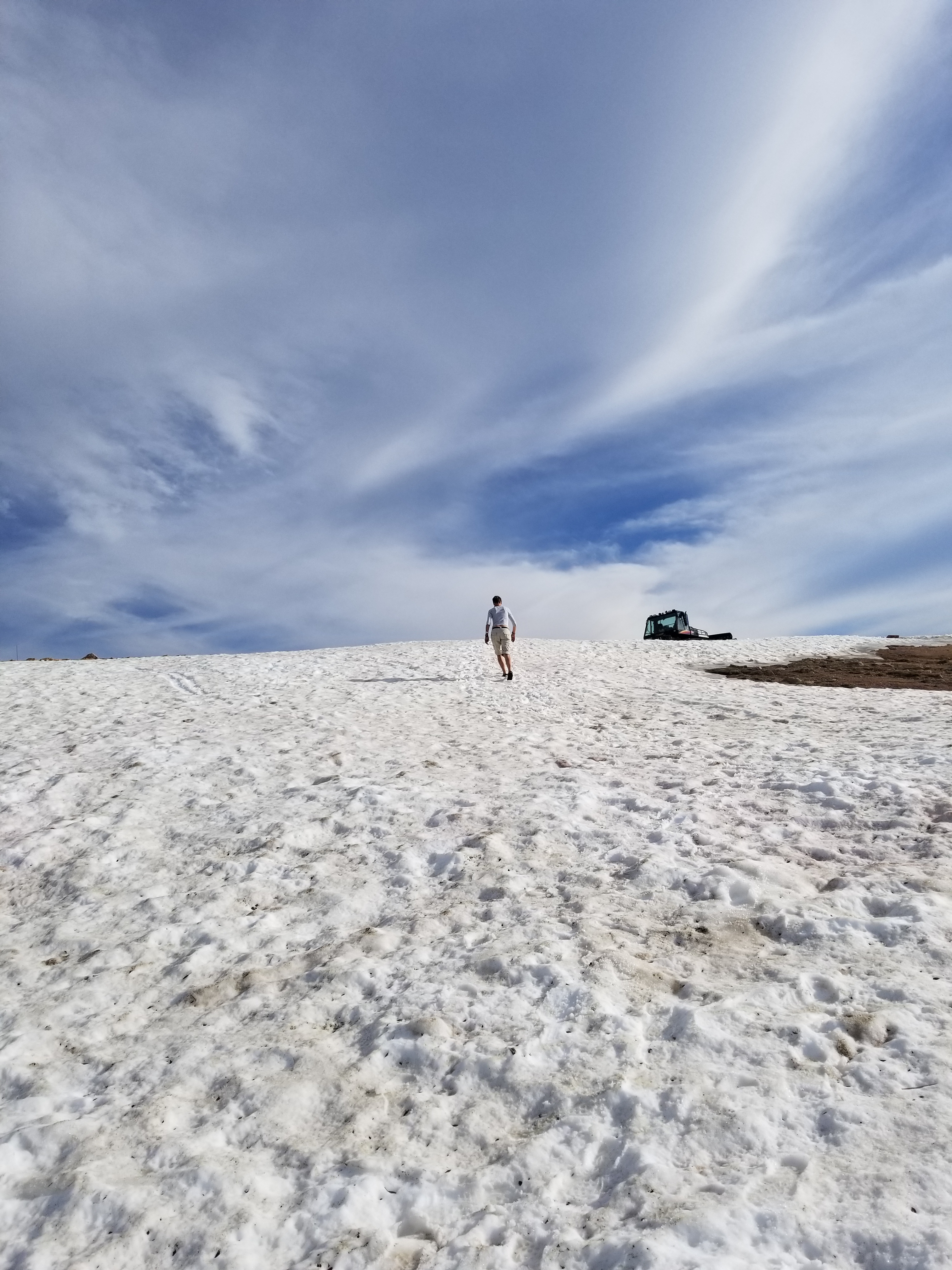
Now to make the walk back up the hill.

Now I can hear you thinking, “that didn’t look so bad”. Well maybe the pictures didn’t give the correct context. Let me share it another way with just the facts.

This is an 8-mile (12.8-kilometer) there-and-back trail that begins and ends at the same trail head.
Follow Old Bunsen Peak Road through grassland and burned forest 3 miles (4.9 km) to Osprey Falls Trail. Descend 700 feet (213 m) into Sheepeater Canyon, one of the deepest canyons in Yellowstone National Park. Osprey Falls, on the Gardner River, plunges 150 feet (46 m) over the edge of a lava flow. Return by the same route.


Now that ladies and gentlemen is NOT the definition of moderate.

New coworker

Met a new coworker today. Turns out he is a snake. Just glad he wasn’t rattling. Basically only two types of snakes here, the bull snake and the rattlesnake.

Double Rainbows

I have seen double rainbows in pictures before, but today I got to see them for real. They were amazing. Adding to the amazement was being able to see both sides of the rainbow. The pictures just don’t capture the beauty.

MIA for a while

I know I have been missing for a while. I told myself that I would do this for a year, so I want to keep that commitment. I am starting back up, mostly for my loyal fans in France.

Hiking Purple Mountain

It was a nice woodland hike to the top of Purple Mountain. The bad was constantly working. Conductivity was down to an RV park and I was trying to get someone to go out and fix it. Then contractors cut the main power lines on Mt. Washburn where all the main microwave transmitter are for the park. The crisis ended up being avoided, but if it had gone bad all communications to the interior of the park would have gone offline.


Had a funny thing happen on the way out. We saw a car stopped on a turn out with all the doors open. As we went by a man put his thumb out. Since we were in the middle of nowhere I asked Janet to stop the car. She did and I went back to talk with them about what was wrong. The woman looked mortified. The main explained that they were having an argument and he put his thumb out as a joke not thinking that anyone would stop. I think he was in even worse trouble after us leaving.

BBQ and Arch Festival

Found a BBQ place in Emigrant. The owner was from Georgia. They had really good food. Loved this sign.

Had some fun at a local festival at Arch Park, when I wasn’t on a work call about phones and data being down at an RV park.

Had a quick rain shower when we were in the local market and got to see this cool rainbow when we walked out.

Out to hike the Beaver Ponds

A view of the Mammoth Hot Springs

The wild flowers are lovely.

A view towards Gardiner.

A view towards Mammoth.

In the home stretch of the hike.

And then we found the elk. Had to navigate around them carefully.

This is a close view of Mammoth Hot Springs. You can compare this to the first picture of the same area just from a higher point.

While we were out hiking the boys were resting up for a night of torture the humans.

Heading out to the Bear Tooth Highway

Starting things off right with a Bison jam. One baby in the road.

Do you see the big nest near the center of the picture? It was an Osprey’s nest and one was in it.

Just a little Yellowstone Lama Drama…

This was a beautiful spot with the lake and mountains.

This was an amazing vista.

Can you spot the person on the bicycle in the center of the picture. They were some hard core people. They were going from about 6,000 feet to a little over 10,000 feet. Total distance is 63.5 miles. David I think this one may one up the Indy Hilly Hundred.

The views continue to be amazing.

The background is some amazing it looks fake.

A fair amount of snow left for it to be July 14th.

We found the Bear’s Tooth, can you?

Train car road side eatery. The food was really good.

Few turkeys crossing the street. Nice to see them obeying traffic laws and using the crosswalk.

A good view of how the highway twits around the mountain.

A lot of snow left here. I don’t think it is all going to melt before it starts snowing again.

It looked like a cable car line was here. Maybe this is a ski spot in the winter?

Maybe it is a ski spot now?

What I was thinking were ground hogs are really yellow bellied marmots. Can you see the one left of the hole?

Just a few bison on the return trip.

The babies are starting to grow up.

Hey, how’s it going?

This guy was hanging out near the house.